About this location
-
Water trailLewis River and Vancouver Lake
- Parking Type
-
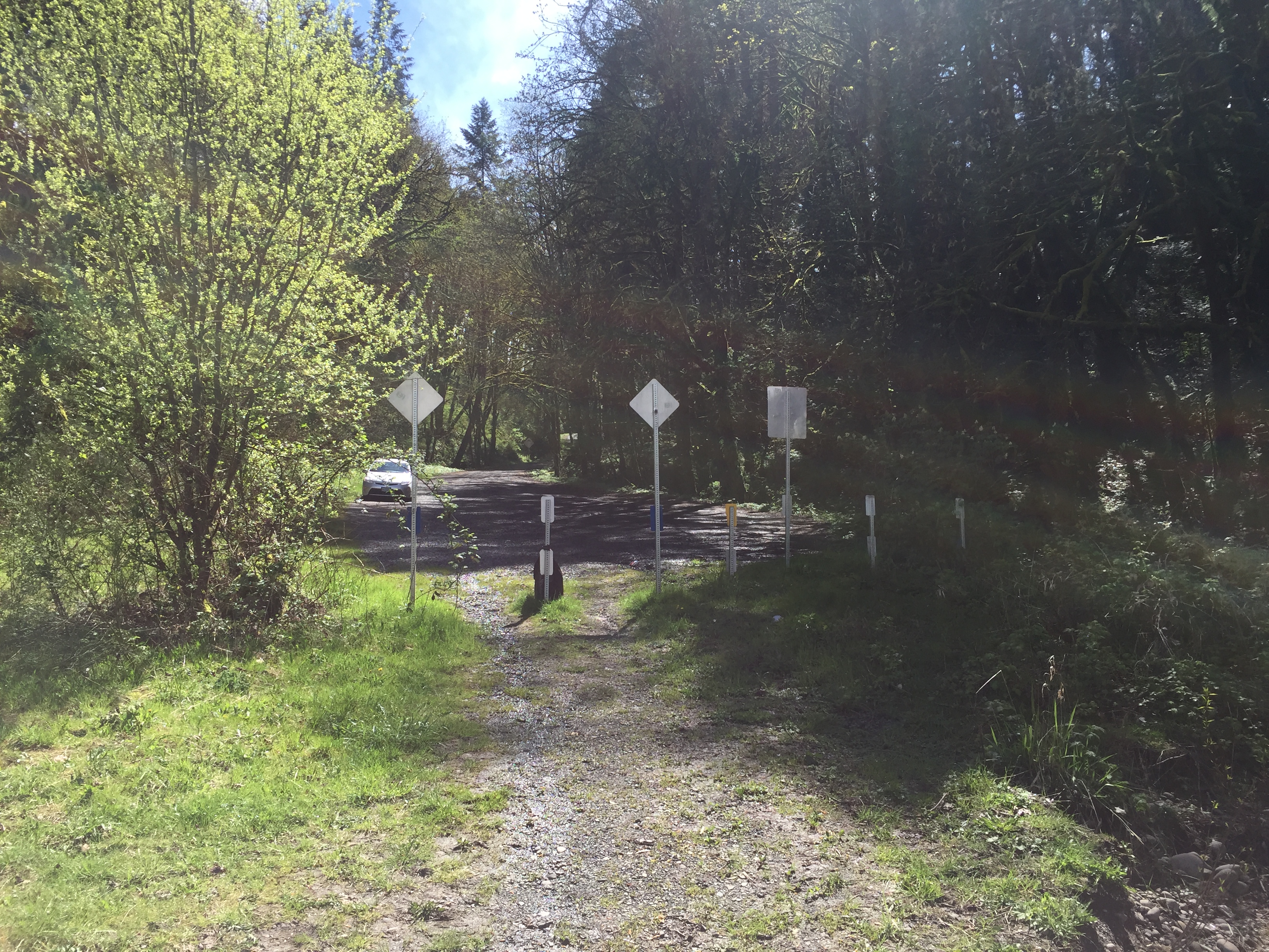
Parking is informal, and at the dead end of a gravel road. Room for at least 10 cars.
- Parking Fee
-
None
- Tidal influence
-
Unknow. Likely small.
-
Launch TypeShore
- Launch Fees
-
None
- Location notes
-
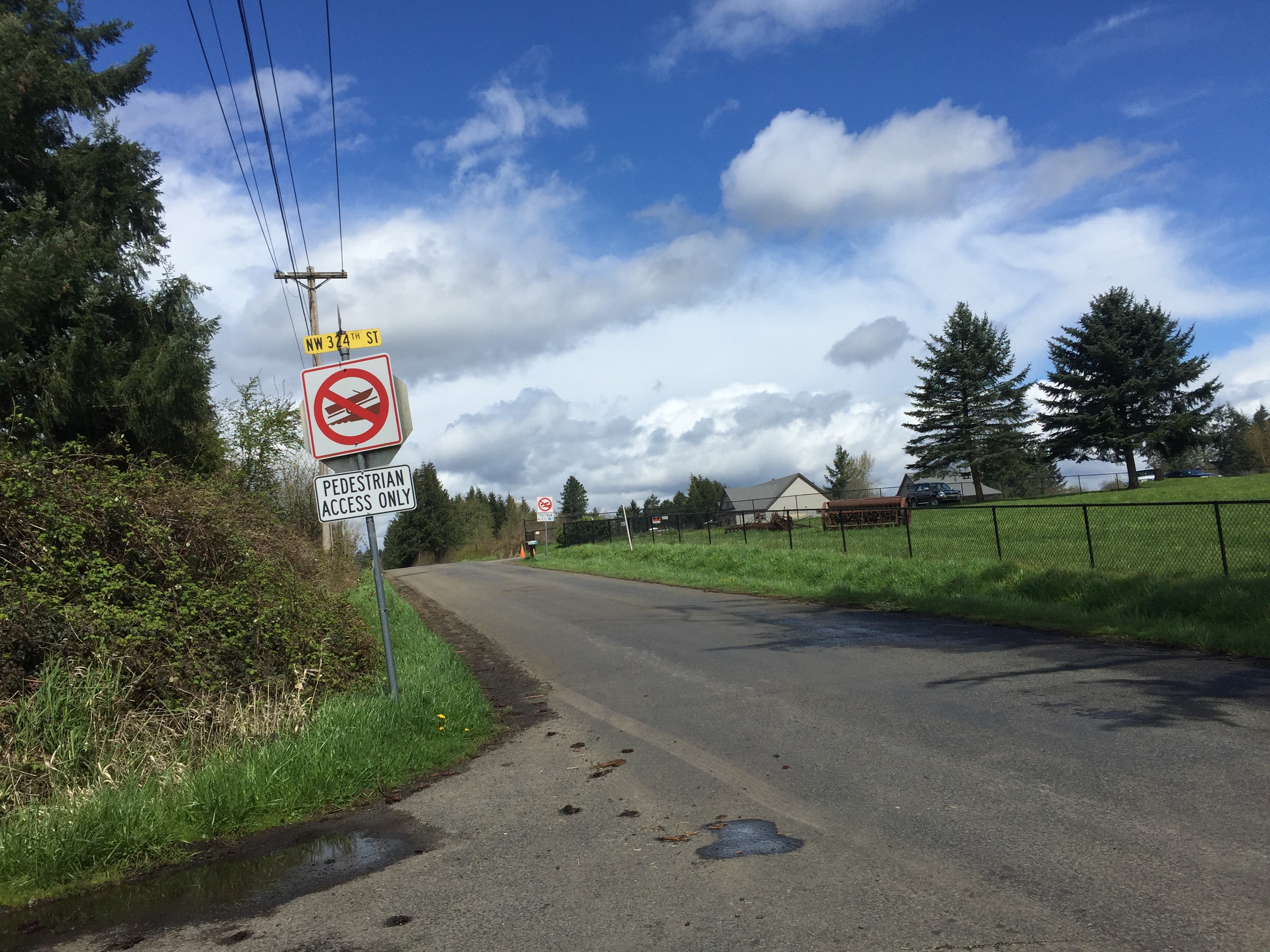
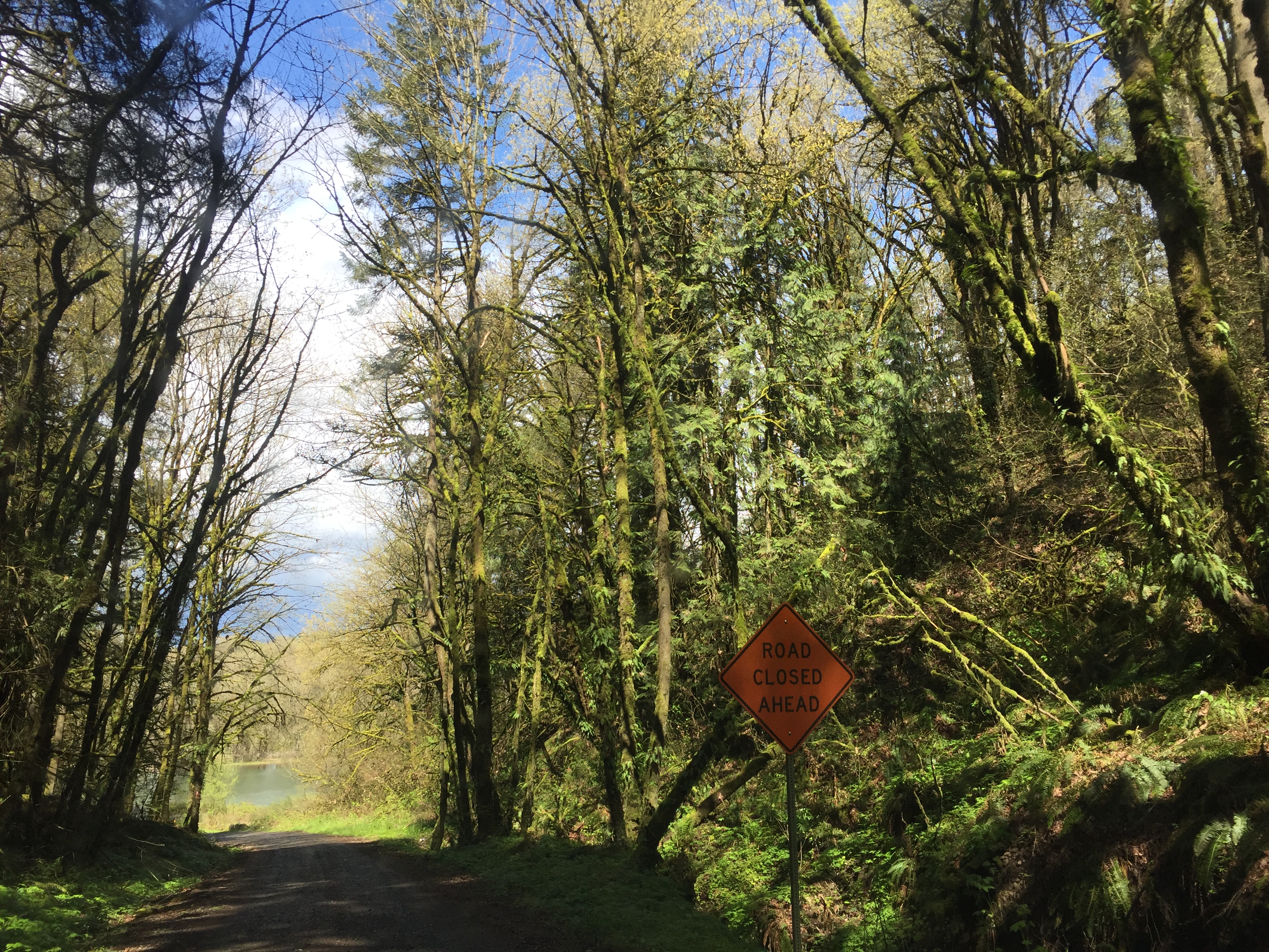
See the site description above. Access can initially be difficult to figure out and existing signage does not help. Photos show signage and access to the site.
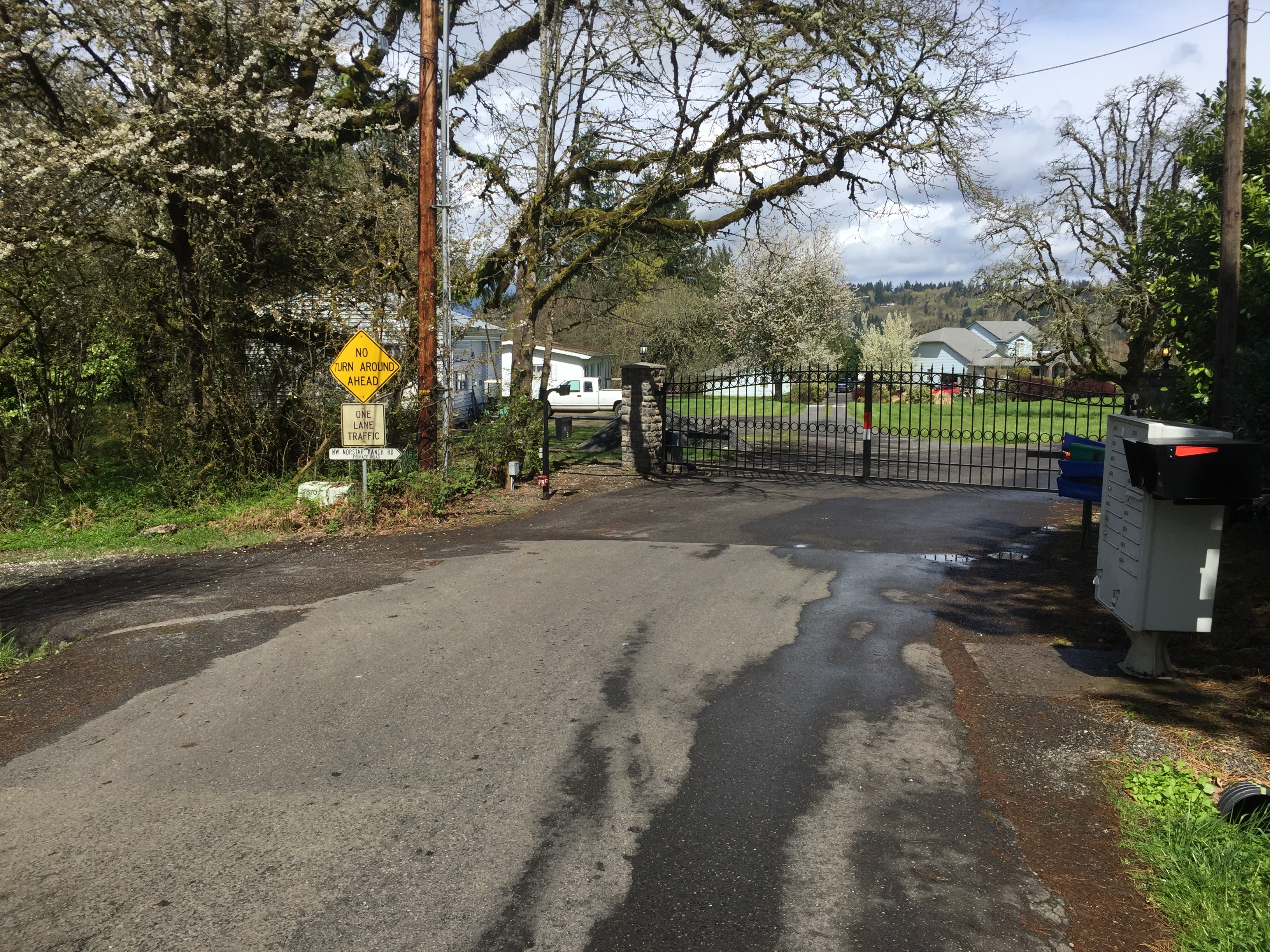
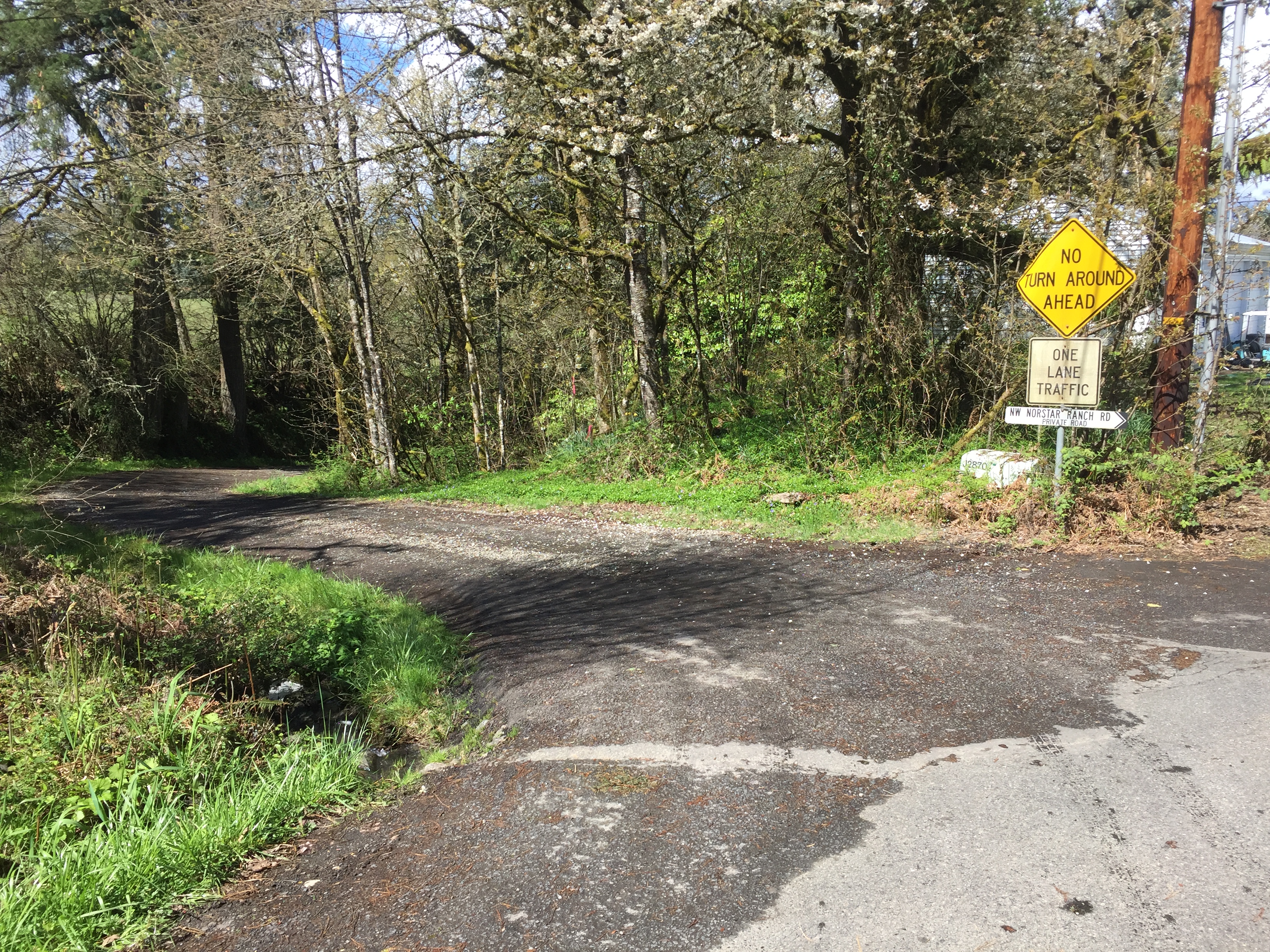
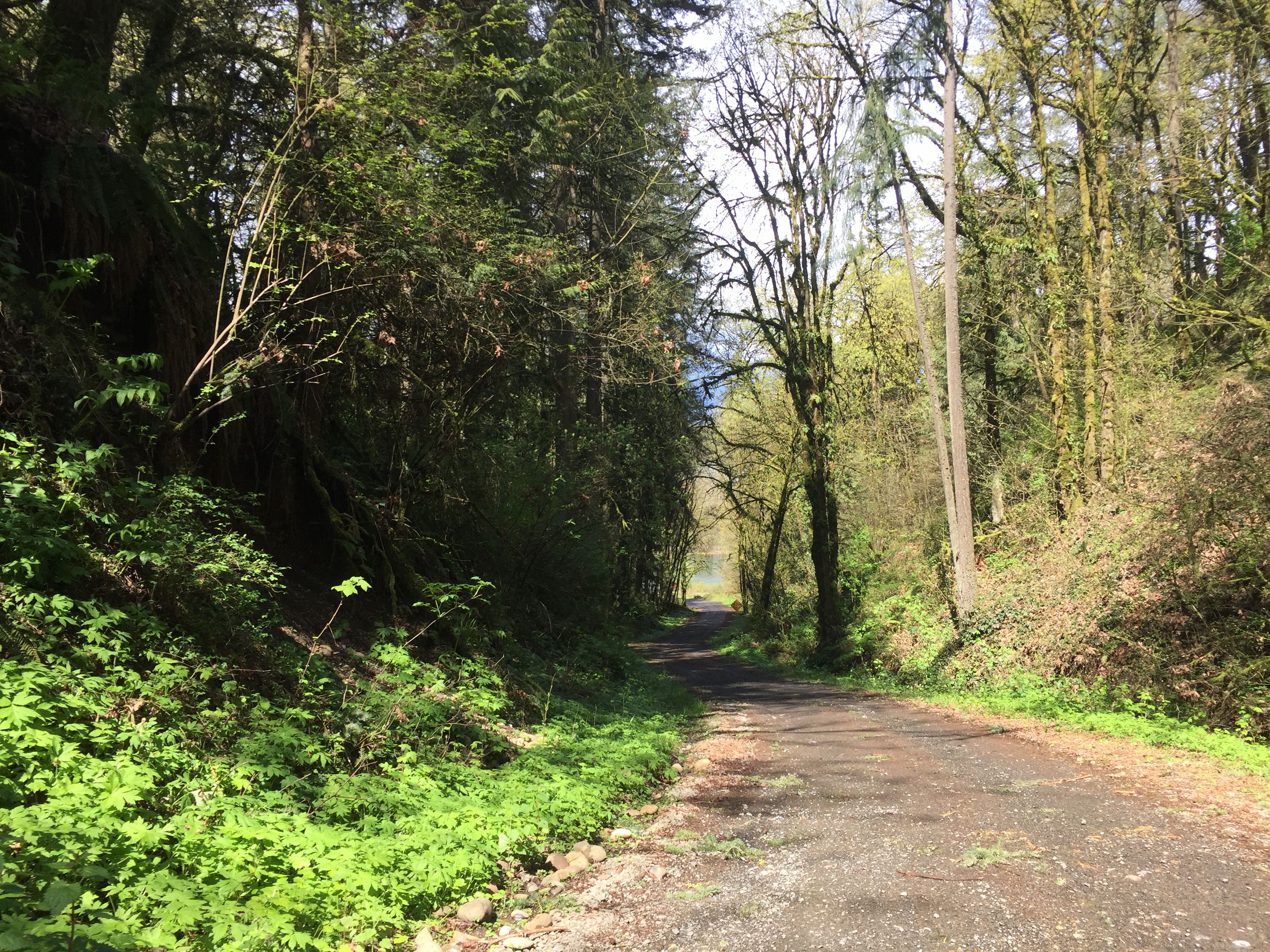
CD Hale Road Shore Launch exists where the public right of way for CD Hale Road dead ends at the Lewis River. The site is just downstream of where the East Fork Lewis River flows into the Lewis River. The site can be a bit confusing to access. Signage on Hale Road includes a sign that notes no motorized boat launching and another sign that says Pedestrian Access Only. These signs do not apply to non-motorized boaters. The paved road ends at a private gate (NW Norstar Rand Rd). Access to the site is to the left, down a long, well maintained, single land road. Signs warn that there is "No Turn Around Ahead" and of the "One Lane Traffic." Farther down the road another sign warns "Road Closed Ahead."
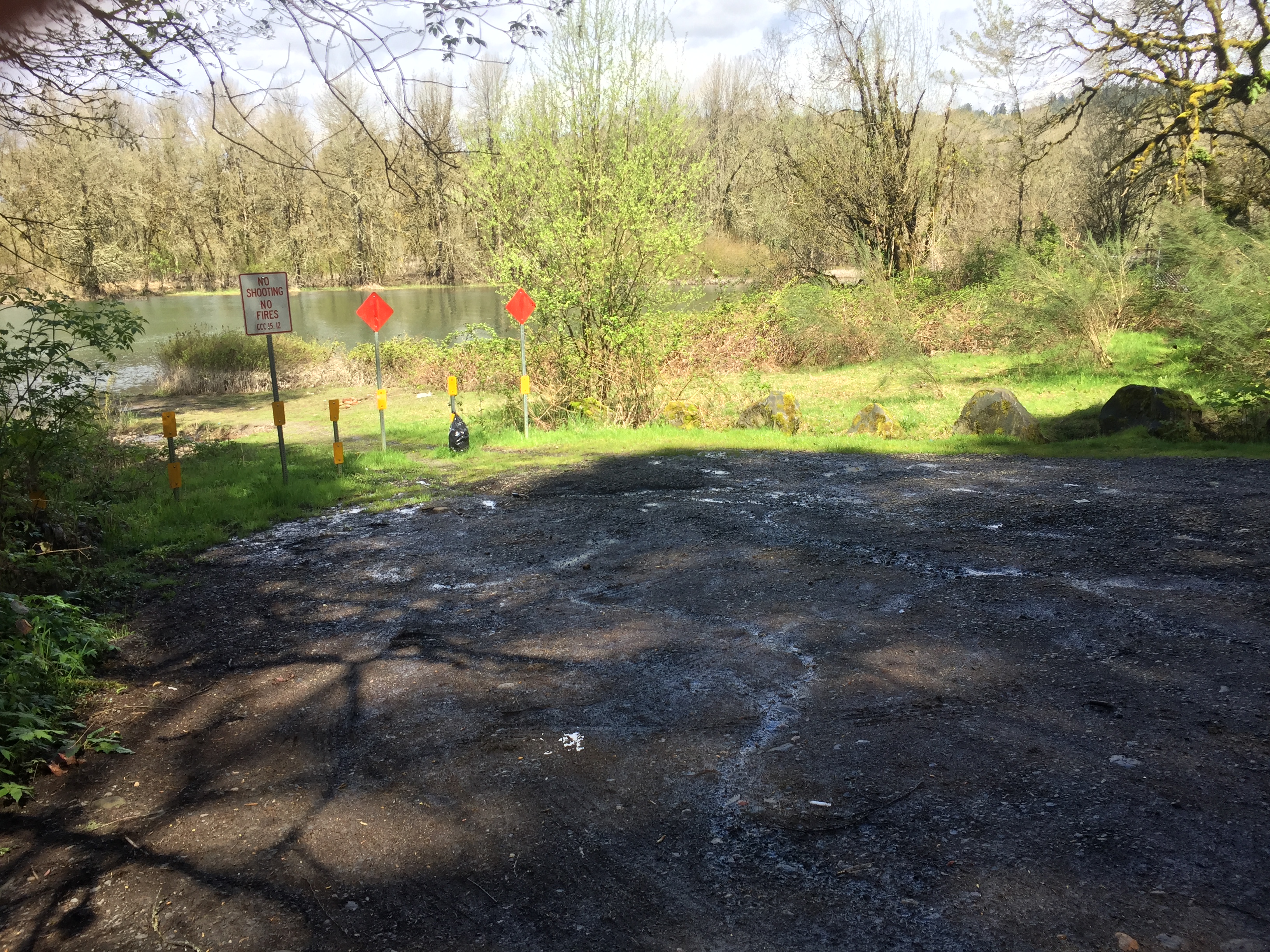
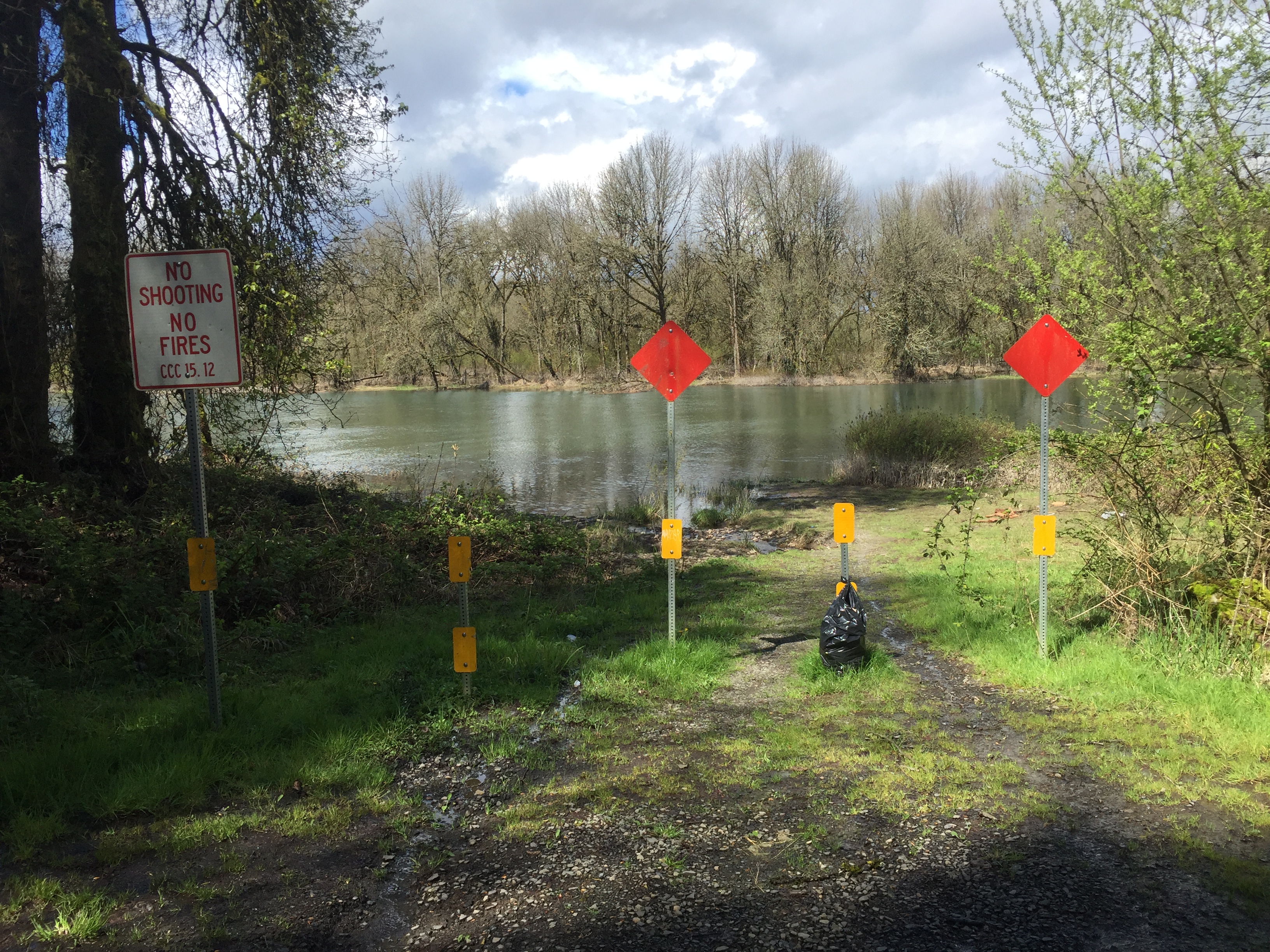
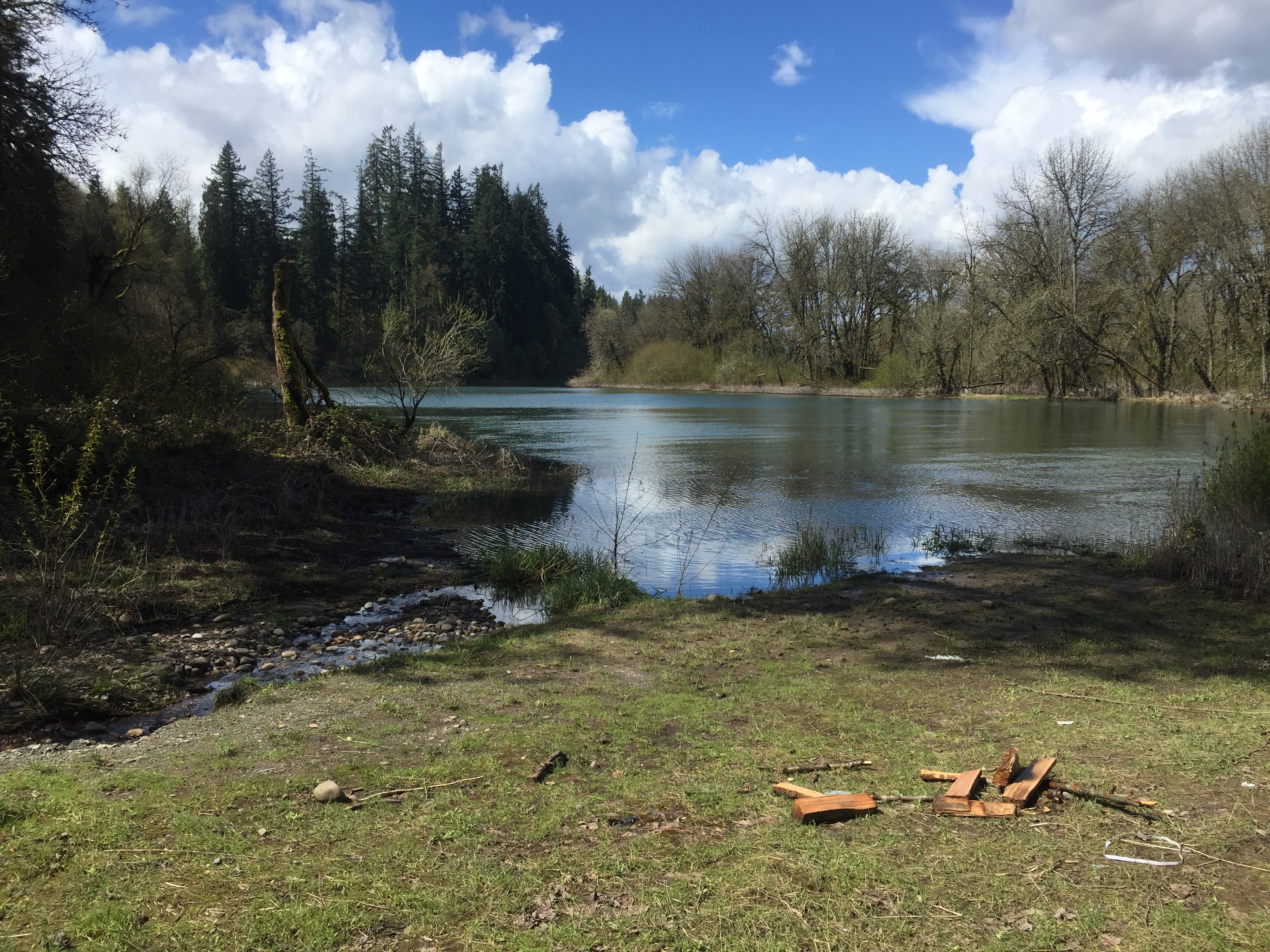
Once you reach the site, non-motorized boat access is relatively easy and the site is large enough for multiple cars. Turning around is unproblematic. The launch is a natural shore of dirt, rocks, and mud. Water levels in the April 2017 photos are very high.
Site owner
Clark County
Address
NW Hale Road
Ridgefield, WA 98642
United States